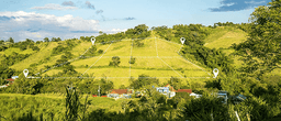
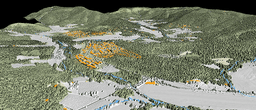
Leveraging patent pending BVLOS (Beyond Visual Line of Sight) drone technology, RANGE offers the most precise aerial mapping and data acquisition services for smarter planning, better resource management, and a clear picture every step of the way.

Orthoimagery Acquisition
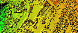
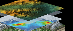
LiDAR Mapping and Terrain Modeling
Multispectral Imaging and Analysis
Geospatial Data Processing and Delivery
Infrastructure Inspection and Asset Monitoring
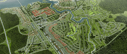
Aerial Mapping Program Management
© 2026 Range, All Rights Reserved